
The ‘Citizen Lab’ will be the focus of PAVE-SCAN’s ‘Phase V – Pilot Testing and Demonstration’, and WP7 (project months M24-M33) on ‘Pilot Implementation, ‘Living Labs’ and Capacity Building’
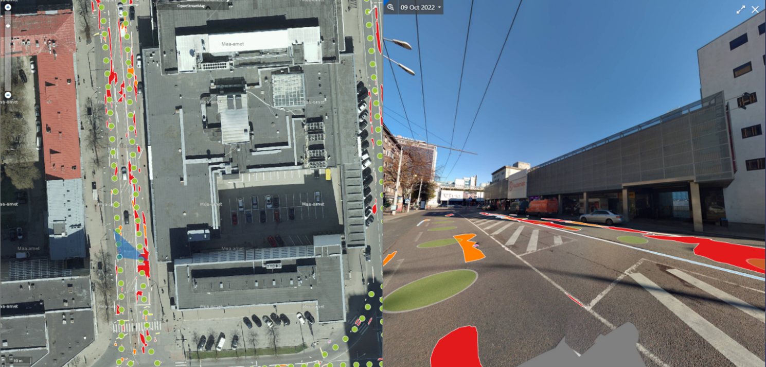
During this phase, the PAVE-SCAN platform and services will be deployed, tested, and openly demonstrated in the five pilot cities of: (1) Nicosia (Cyprus), (2) Genoa (Italy), (3) Madrid (Spain), (4) Valletta (Malta), and (5) Tallinn (Estonia). These use-cases shall serve as Living Labs, providing ideal testbeds for our solution to be tested across diverse operational settings and contexts (e.g. in terms of available road network data, condition of the road network, various environmental and weather conditions, variable technology-maturity levels, etc.), enabling the consortium to demonstrate the benefits of PAVE-SCAN solution for the road infrastructure industry, while gathering concrete evidence to build their business case over the pilot rounds. The Living Labs will ensure the real-life application of developed knowledge/technologies, for integrating R&I processes within a public-private-academia-citizens partnership, and for integrating PAVE-SCAN with in-use of Smart-City platforms as in the case of Tallinn (Figure 1). The multifaceted characteristics of the chosen road networks and the small to medium-sized EU cities serving as ‘Living Labs’ do facilitate carefully designed real-world experimentation and, thus, the progressive product development and proof-testing in a ‘living labs’ environment, before the developed technology can be deployed globally. It is emphasized that all living labs and project activities will be performed in conformance with Art. 17 of Reg. (EU) 2020/852 (‘Do No Significant Harm’ Directive), and both the environmental impact of the activity itself and of the products and services provided by that activity throughout their life cycle shall be considered.
WP7 will manage the implementation on the pilot-study roadway networks of technologies developed in WP3-WP7. The networks (in CY, MT, ES, IT, EE) will serve as living labs, their condition be assessed using buses and/or vehicles retrofitted with the PAVE-SCAN sensors and the acquired data will then be processed by the PAVE-SCAN platform for the creation of related pavement-condition spatiotemporal maps and PMS action plans. WP7 will also include knowledge-transfer and capacity-building actions, in which the research and industrial partners will transfer the developed knowledge (hardware/software, models, maps, and related action plans) to bus operators and to the authorities tasked with the O&M of the roadway network. WP7 is led by NPT.
| Objective | Description | Key Performance Indicators |
|---|---|---|
| 06 | Installation of developed sensors on 5 vehicles of partners LEF, TALN, NTN, MTN, ALSA, and utilization of the vehicles/network as ‘living labs’ | KPI 6.1: Development > 30 sensor devices.
KPI 6.2: Installation in 5 locations (Cyprus, Malta, Spain, Italy, Estonia). KPI 6.3: Run 5 full pilot studies. KPI 6.4: 1000 Km of transport networks traversed (at least 2x each road direction per location, per Quarter; during the pilot-study period. |